Adjusts your Windows settings to allow speeds to work with Fiber Power Internet.
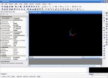
Complete drawing environment with survey utilities.
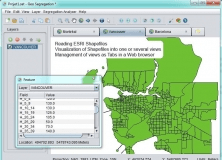
An open-source program that can read ESRI Shapefiles.
Help a National Geographic Explorer film crew bust a black market network!
Plot geotagged images in a selected folder on a virtual globe